
The Wheelsmith Cycles
Pedal Picks
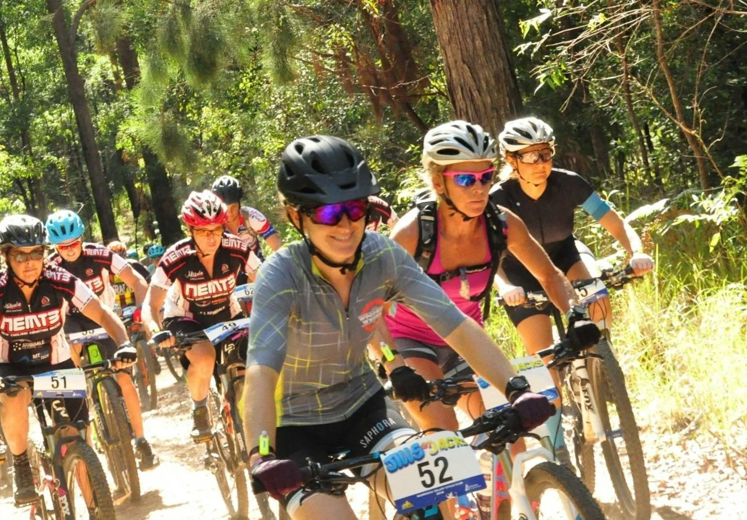
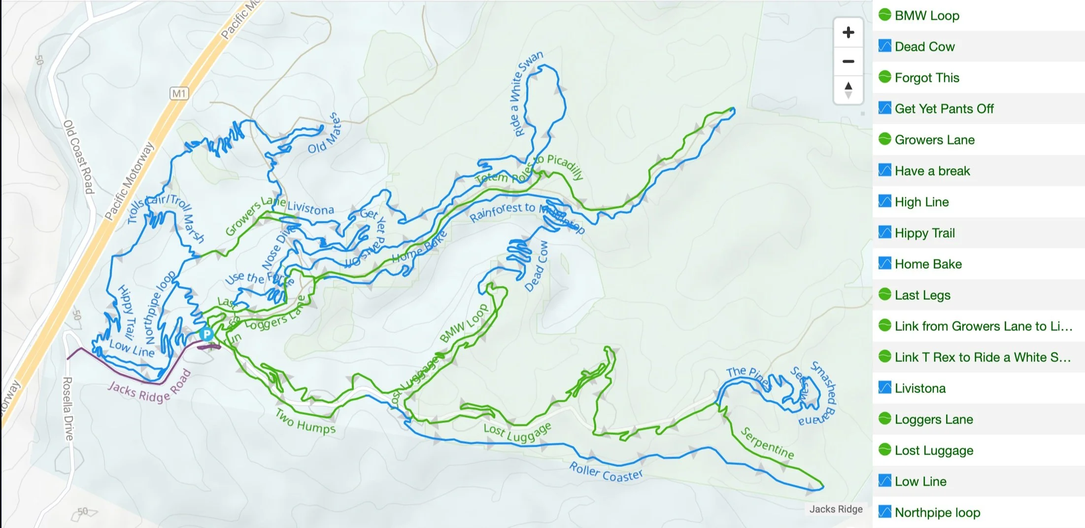
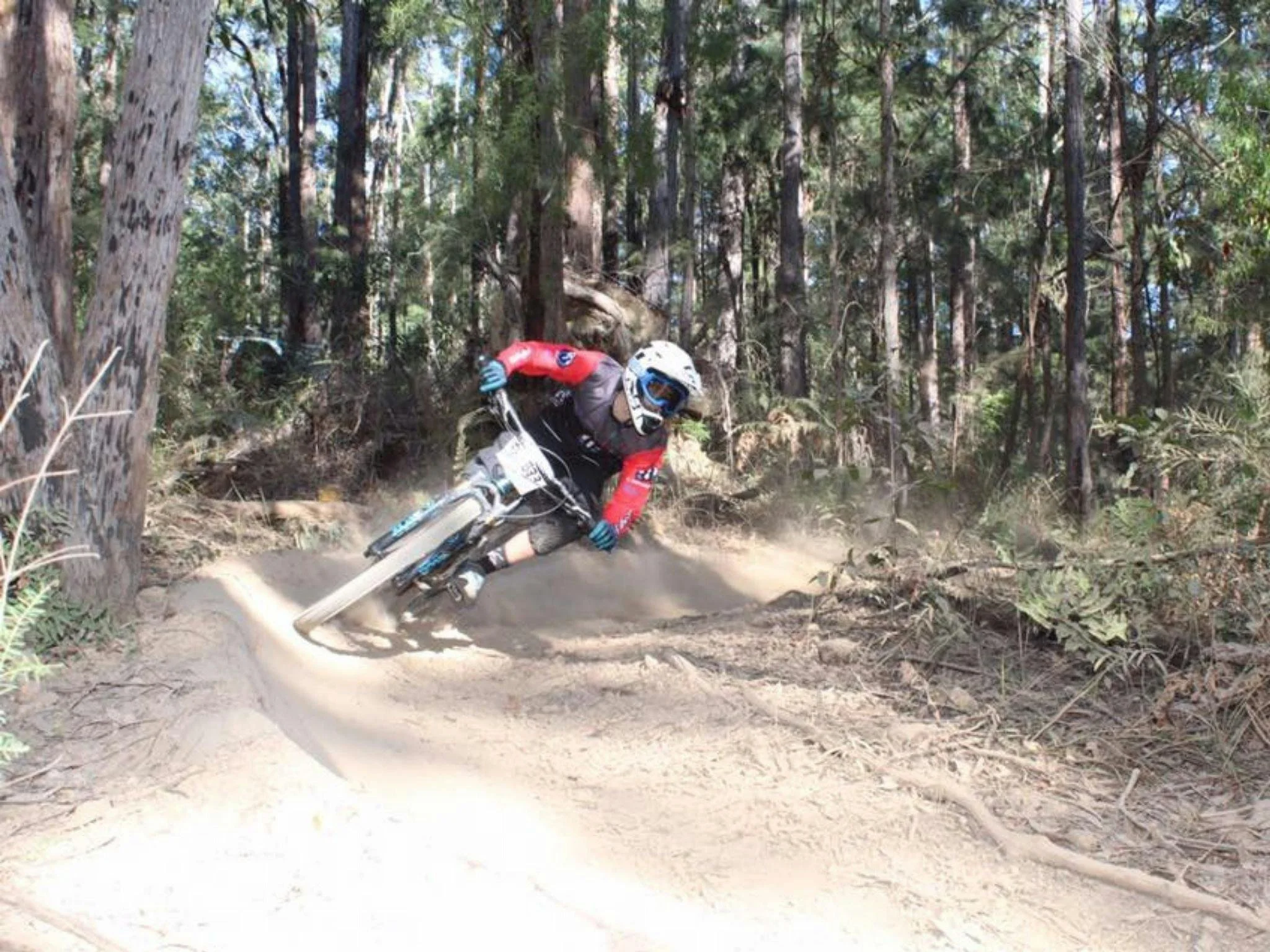
Jack’s Ridge Mountain Bike Park

JollyNose
Mountain Bike Park


The Dirty Buff Loop

Gravel & hills
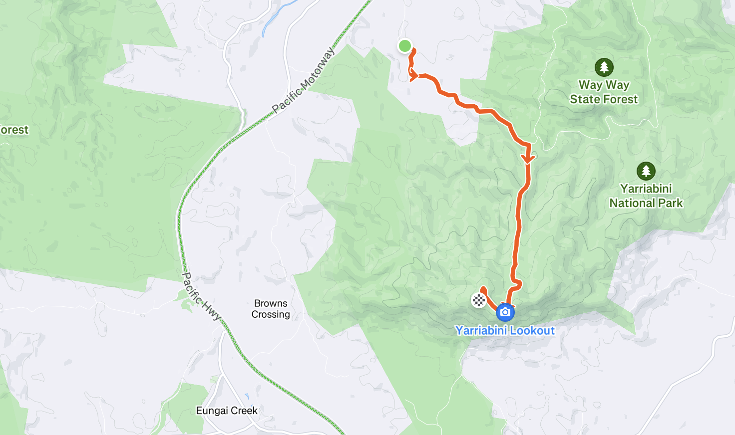
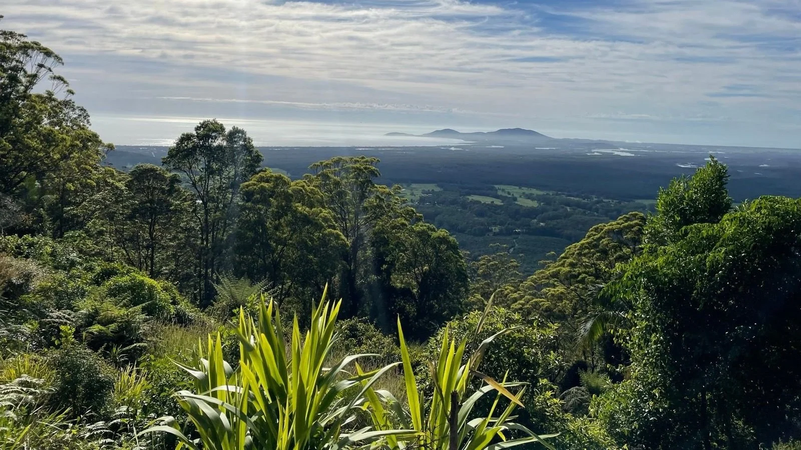
Yarrahapinni Lookout climb
Steep climb

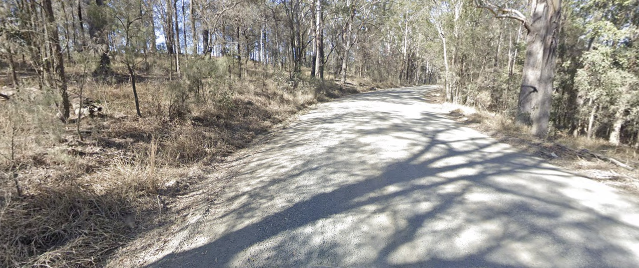
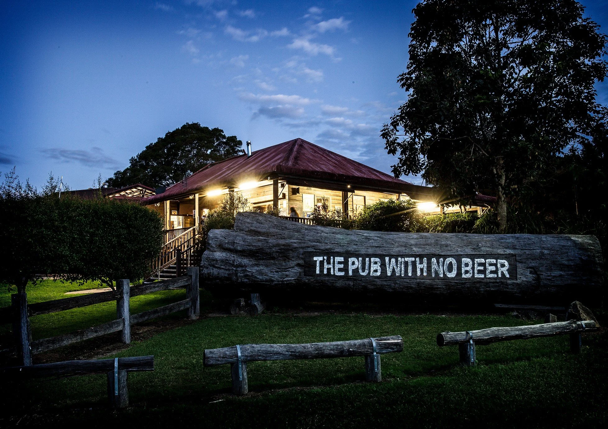
Taylor’s Arm Loop
Paved & mostly flat


Way Way Forest
Gravel


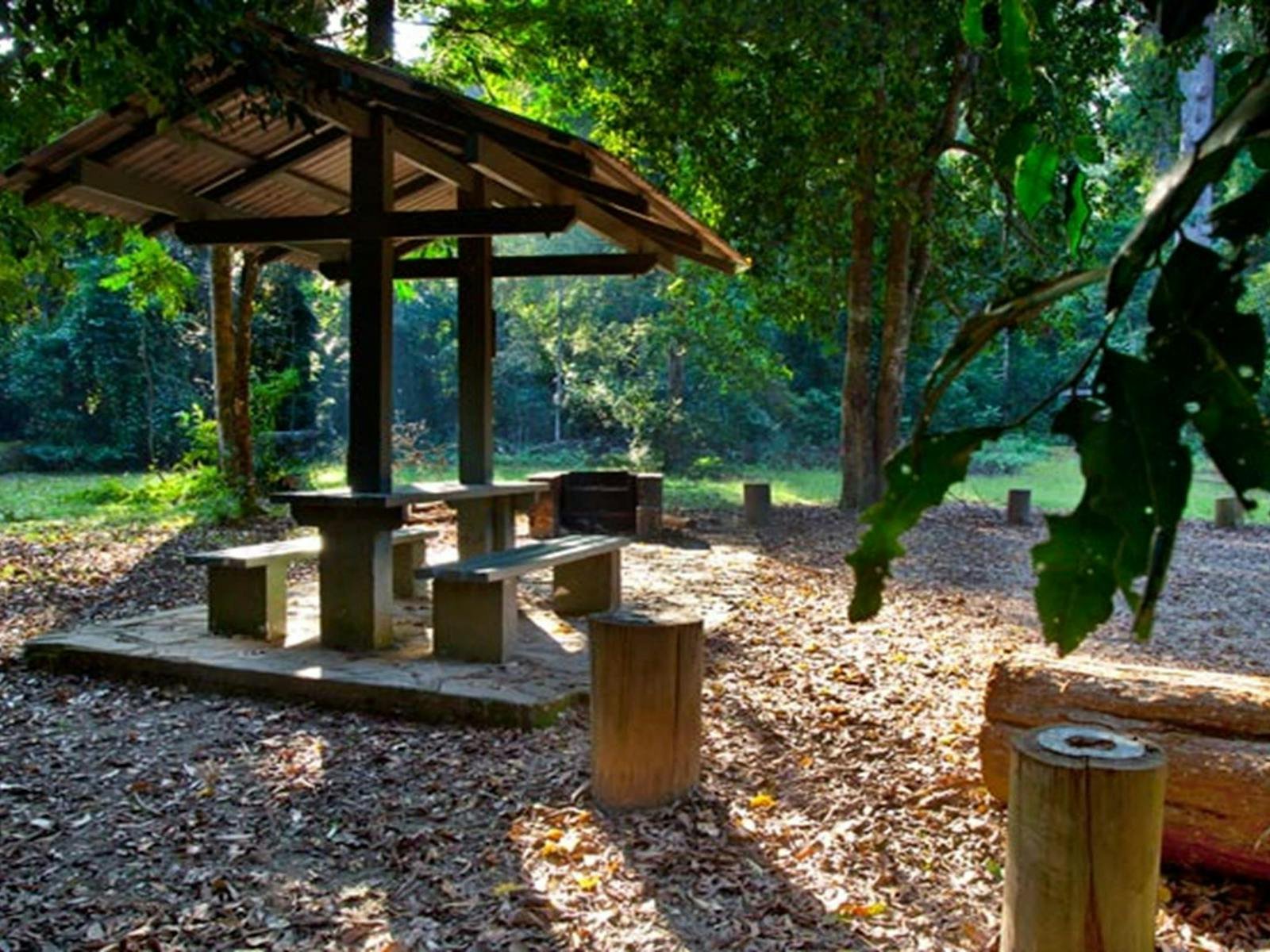
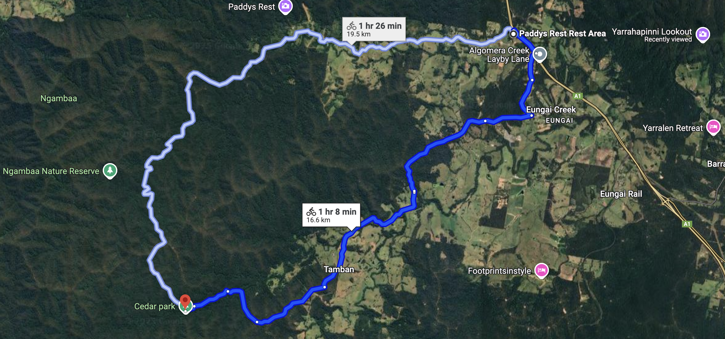
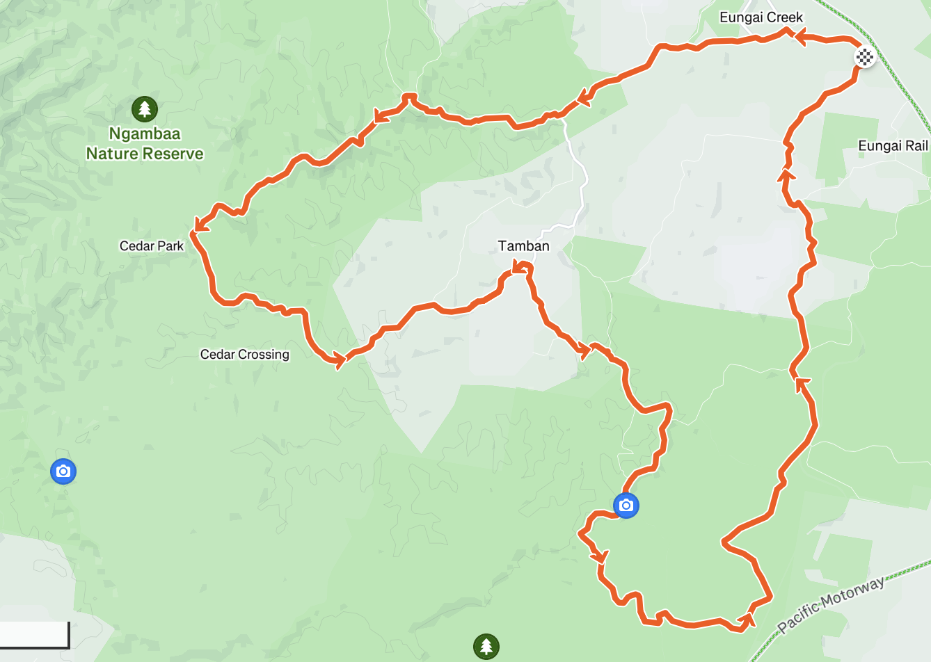
Cedar Park Loop
Gravel & hills